BENCHMARKS
continued
As
Benchmarker was gallivanting in foreign climes for two months of the
Summer, M.C. was on an epic odyssey that resulted in a grand haul of
129 'marks. If they gave out a Nobel Prize for benchmark hunting then
M.C. would now be on the plane to Stockholm .. er .. or Oslo, maybe.
The
first of them was recorded along the banks of the Royal Canal in
Dublin's fair city in the shadow of Mountjoy Gaol. It's at the 4th
Lock.
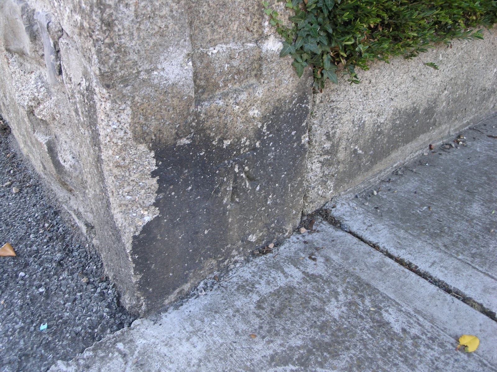
Below:
Highlighted with M.C.'s signature chalk, a 'mark on the Royal Canal
at the 4th Lock.
Above:
Looking north at the 4th Lock with the 'mark at centre
near the water's edge. It is gratifying to note that M.C.'s camera
work seems to show an improvement. Benchmarker was reluctant to take
a hard line, but it seems to have worked out well. It's called tough love.